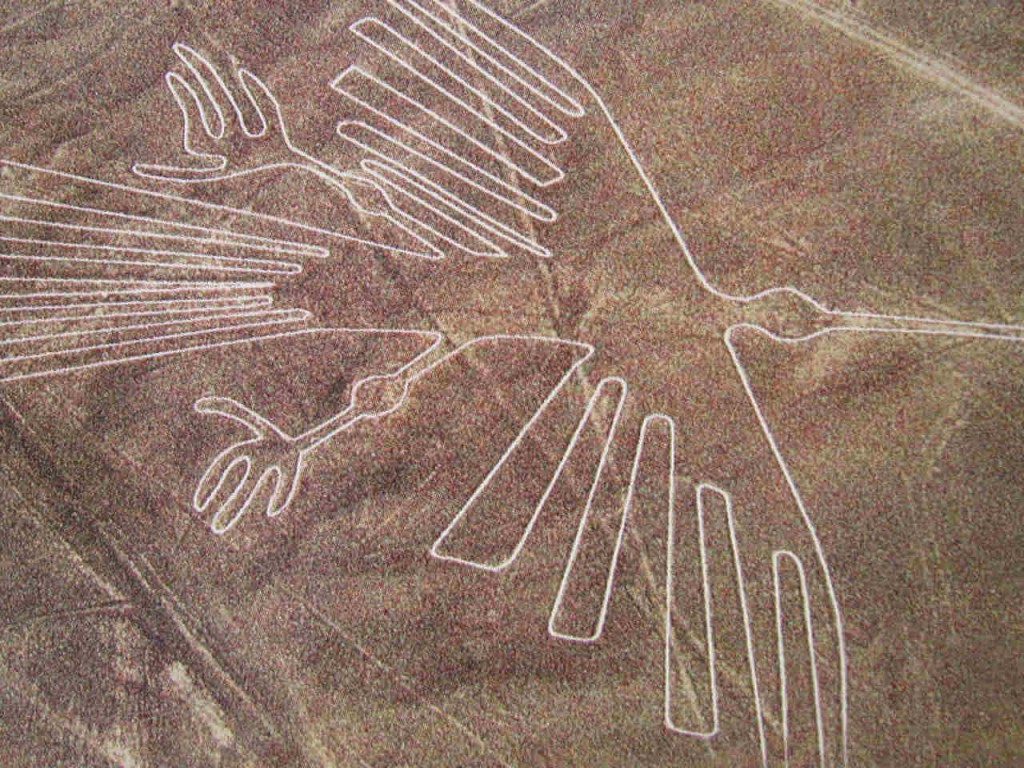
Long before the Incas began to build their empire, another culture was undertaking a tremendous building project in the desert of southern Peru. They were the Nazcas, and their project consisted of a vast and mysterious collection of geoglyphs, or drawings, laid out across a section of desert 190 square miles in area.
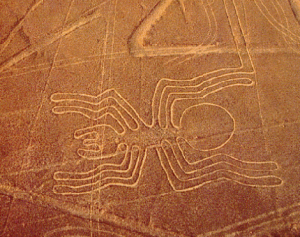
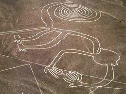
These geoglyphs are commonly known as the Nazca Lines. There are over 300 of them, including geometric shapes and representations of animals, plants, and humans. The lines are actually shallow trenches dug into the ground, from 4-6 inches deep. As the brownish red surface rock was removed, the yellowish soil came into view, creating a contrasting line.
The fascinating thing about the Nazca lines is that they can only be appreciated from above. In fact, they weren’t even discovered until 1939, when a scholar happened to be flying over the desert mapping irrigation systems. The Nazca lines have baffled scholars ever since their discovery. Many different theories have arisen concerning their purpose, from signals to aliens, to an astronomical calendar, to paths for religious processionals.
Whatever the purpose of the lines may have been, today they stand as a reminder that Peru holds many mysteries.


